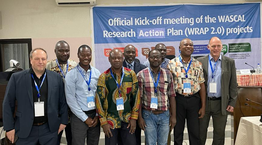


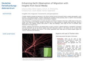
Enhancing Earth Observation of Migration with Insights from Social Media
CompleX migration processes are pervasive on the African continent and are intrinsically linked to ongoing demographic, social, economic, and ecological changes. To better understand the complexity of these processes, there is a need for more and better data and knowledge on the flows, the drivers, and the effects of migration. Earth Observation is increasingly able to accurately map drivers and effects of migration which have a visible impact on the earth’s surface. Such drivers are e.g. floods, droughts, and effects are e.g. urban expansion or refugee camps. However, underlying socio-economic and political drivers as well as individuals‘ subjective decisions or perceptions of situations and the environment can not be directly mapped using Earth Observation sensors. In this project we aim to reduce these knowledge gaps by additional data sources. In this context, geolocated social media data can provide valuable insights into migrants’ movements and motivations.

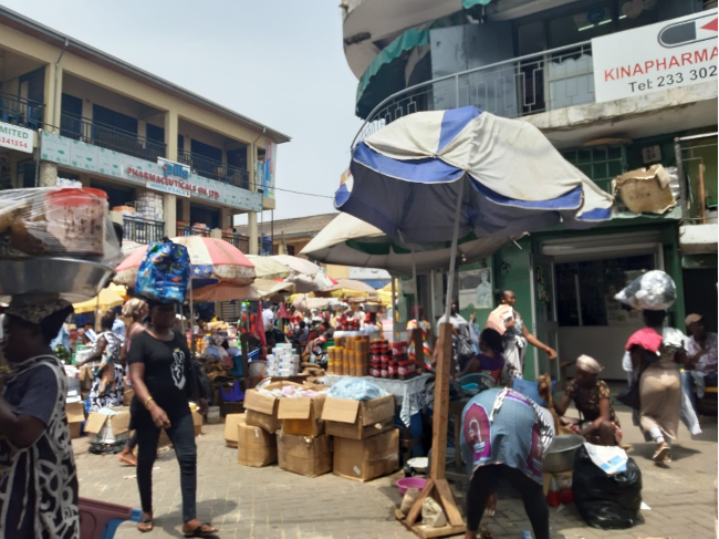
Migrants: the pull effects of rural industrial sites as seen from space
Accessibility to raw materials, cheap labour and lenient labour laws make rural areas attractive to many industries in West Africa. The set-up of small-scale solid mineral industries is popular in rural West Africa. These industries are labour intensive and require small to large areas of land. This is just one of the examples of industrialization taking place in rural areas. Nigeria is well known for its vast oil reserves, which in turn creates a lot of employment opportunities, especially for low-skilled workers, since many of the reserves are in rural areas. Ghana's southern western region has a wealth of gold, which has caused small-scale industries to spring up and led to an influx of people from more rural areas. In combination with proximity to mineral resources, this has led to rural industrialization. This can be seen in the increase in the number of people in an area which indicates an influx of migrants. When this happens there's an upsurge in migration to rural areas, pressure on land and water resources from agricultural activities, which affects the livelihood of migrants. This study seeks to identify migrants' behaviours to move to rural industrial areas in Ghana and Nigeria using remote sensing proxies. The method will use several remote sensing products such as Landsat, Copernicus datasets, Hansen Global Forest dataset, WorldPop and JRC-Global Human Settlement Layer dataset. The Random Forest classifier will be used to generate a Landcover map of the selected areas with Copernicus and Landsat datasets. The expected result will have the potential to demonstrate that Copernicus data, World Pop and Hansen Forest Cover data can be a useful proxy for population and migration studies. Moreover, the monitored significant changes in land use and land cover in the industrial areas compared over the past 20 years reveal certain trends of the industrialization era in Western Africa. The research has the capabilities of producing effective and accurate methods for identifying the pull effects of industries in rural areas. This is essential for the implementation of policies for improved infrastructure, improved labour laws, good health and decent wages.

Migration in West Africa: a visual analysis of motivation, causes, and routes
Migration in West Africa has been taking place for centuries for different reasons. Many dimensions of migration remain insufficiently documented and poorly understood. In particular, factors of migration in destination areas and areas of origin are still lacking comprehensive analysis. In this paper, we bring a new perspective to the model of push and pull factors of migration in West Africa by reviewing and analyzing interview-based case studies of migration related to Ghana, Burkina Faso, and Nigeria, as well as to the associated migration routes. The overall aim of this study was to determine the areas that individuals historically chose as destinations for migration and what they perceived to be the distinctive conditions in those areas. Hence, characteristic features about destination areas and areas of origin were identified and located in maps, whereas interrelationships among push and pull factors were illustrated by means of Sankey diagrams. With these tools, we provide a novel combination for visualizing the reasons for migration. The literature review emphasizes the complex relationships between different drivers of migration, with environmental and economic factors emerging as the most important drivers of migration in the focus countries. Moreover, the identified and mapped migration patterns suggest that individuals migrate mainly from the northern part of a particular country to its center or southern regions. This scientific approach shows that the spatial allocation of migratory movements can facilitate assessments on how to meet specific Sustainable Development Goals and to improve regional policies.